The current condition of Kilburn
In 2018, InformAll partnered with Udenson Caldbeck Associates to produce a quantitative analysis of current social and economic indicators and trends in Kilburn, a largely late 19th century area of north-west London. The Kilburn Neighbourhood Plan Forum (KNPF) commissioned this piece of work. Along with other such local Forums, it was set up under the terms of the Localism Act to “further the social, economic and environmental well-being of individuals in a neighbourhood area”. The Act also envisages that Forums “promote the carrying on of trades, professions or other businesses in an area”. Forums are also a democratic way for local residents, businesses and workers to put together a Neighbourhood Plan – via a referendum – for the future development of given local areas. In this instance, our work helped to build KNPF’s evidence base in readiness for the development of its Plan.
Our research drew from a selection of current material relating either to Kilburn itself, or to broader geographical areas with a bearing on Kilburn. We thus examined documentation (strategy documents, local plans…) from the relevant borough councils, Brent and Camden, and from London as a whole. We also looked at indicators in data sources, such as the London Town Centre Health Check Analysis and statistics compiled by the Greater London Authority on population/household projections, land use, dwelling types and well-being. The output of the project took the form of a short report summarising these findings, and a statistical appendix which drilled in detail at the sort of sources outlined above. KNPPF has not made the report public, but it is using it in the process of formulating the next phases of work.
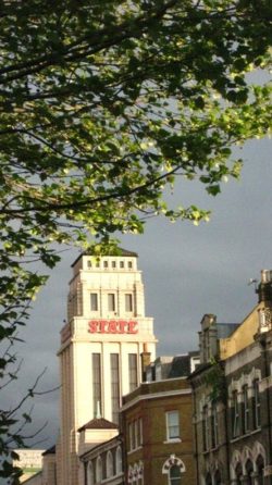
Photo: London, Kilburn High Road – © Stéphane Goldstein
![InformAll [logo]](https://www.informall.org.uk/wp-content/themes/informall/assets/img/informall-logo.svg)